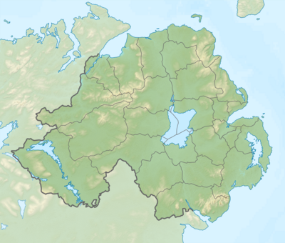
Templat:Location map Northern Ireland2

| ||||
| nama | Northern Ireland | |||
|---|---|---|---|---|
| koordinat perbatasan | ||||
| 55.4 | ||||
| -8.3 | ←↕→ | -5.3 | ||
| 53.9 | ||||
| titik pusat peta | 54°39′N 6°48′W / 54.65°N 6.8°W | |||
| gambar | Northern Ireland location map.svg | |||
| image1 | Northern Ireland relief location map.png | |||

| ||||

| ||||
| nama | Northern Ireland | |||
|---|---|---|---|---|
| koordinat perbatasan | ||||
| 55.4 | ||||
| -8.3 | ←↕→ | -5.3 | ||
| 53.9 | ||||
| titik pusat peta | 54°39′N 6°48′W / 54.65°N 6.8°W / 54.65; -6.8 | |||
| gambar | Northern Ireland location map.svg | |||
| image1 | Northern Ireland relief location map.png | |||

| ||||