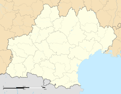
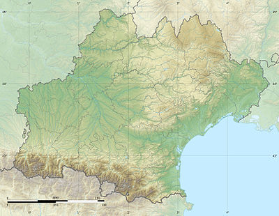
Templat:Location map France Ositania
Tampilan
(Dialihkan dari Templat:Location map France Occitanie)

| ||||
| nama | Ositania | |||
|---|---|---|---|---|
| koordinat perbatasan | ||||
| 45.169 | ||||
| -0.587 | ←↕→ | 5.039 | ||
| 42.168 | ||||
| titik pusat peta | 43°40′07″N 2°13′34″E / 43.6685°N 2.226°E | |||
| gambar | Languedoc-Roussillon-Midi-Pyrénées region location map.svg | |||
| image1 | Languedoc-Roussillon-Midi-Pyrénées region relief location map.jpg | |||

| ||||
