
Berkas:Europe geographique grande.jpg
Ukuran asli (1.050 × 828 piksel, ukuran berkas: 271 KB, tipe MIME: image/jpeg)
Ringkasan
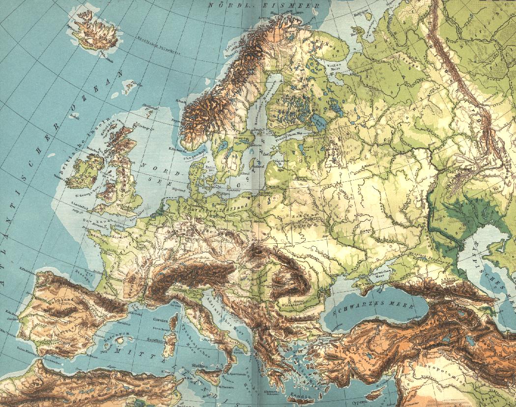
| Deskripsi | Carte géographique de l'Europe. Scan de Diercke Schul-Atlas für Höhere Lehranstalten de 1907 par Yann. Voir aussi fr:Image:Europe geographique.jpg et fr:Catégorie:Cartes d'Europe |
| Tanggal | Commons upload by Shizhao 06:34, 24 May 2006 (UTC) |
| Sumber |
Originally from fr.wikipedia; description page is (was) here
|
| Pembuat | User Yann on fr.wikipedia |
Lisensi
This image is in the public domain because it is a mere mechanical scan or photocopy of a public domain original, or – from the available evidence – is so similar to such a scan or photocopy that no copyright protection can be expected to arise. The original itself is in the public domain for the following reason:
This tag is designed for use where there may be a need to assert that any enhancements (eg brightness, contrast, colour-matching, sharpening) are in themselves insufficiently creative to generate a new copyright. It can be used where it is unknown whether any enhancements have been made, as well as when the enhancements are clear but insufficient. For known raw unenhanced scans you can use an appropriate {{PD-old}} tag instead. For usage, see Commons:When to use the PD-scan tag.  | ||||
Riwayat berkas
Klik pada tanggal/waktu untuk melihat berkas ini pada saat tersebut.
| Tanggal/Waktu | Miniatur | Dimensi | Pengguna | Komentar | |
|---|---|---|---|---|---|
| terkini | 24 Mei 2006 06.34 | | 1.050 × 828 (271 KB) | Shizhao | {{Information| |Description= == Description == Carte géographique de l'Europe les pays qui rentre a l union ou 1957 jusqua 2004 == Source == Scan de ''Diercke Schul-Atlas für Höhere Lehranstalten'' de 1907 par Yann. Voir aus |
Penggunaan berkas
Halaman berikut menggunakan berkas ini:
Penggunaan berkas global
Wiki lain berikut menggunakan berkas ini:
- Penggunaan pada ar.wikipedia.org
- Penggunaan pada az.wikipedia.org
- Penggunaan pada cv.wikipedia.org
- Penggunaan pada da.wikipedia.org
- Penggunaan pada en.wikipedia.org
- Penggunaan pada es.wikipedia.org
- Penggunaan pada fa.wikipedia.org
- Penggunaan pada fr.wikipedia.org
- Penggunaan pada fr.wikiversity.org
- Penggunaan pada gcr.wikipedia.org
- Penggunaan pada he.wikipedia.org
- Penggunaan pada hi.wikipedia.org
- Penggunaan pada ie.wikipedia.org
- Penggunaan pada kk.wikipedia.org
- Penggunaan pada ky.wikipedia.org
- Penggunaan pada nn.wikipedia.org
- Penggunaan pada no.wikipedia.org
- Penggunaan pada pcd.wikipedia.org
- Penggunaan pada ro.wikipedia.org
- Penggunaan pada ru.wikipedia.org
- Penggunaan pada tl.wikipedia.org
- Penggunaan pada tly.wikipedia.org
- Penggunaan pada uk.wikipedia.org
- Penggunaan pada vi.wikipedia.org
- Penggunaan pada zh-min-nan.wikipedia.org
- Penggunaan pada zh.wikipedia.org