
Berkas:Europe-Great Britain.svg

Ukuran asli (Berkas SVG, secara nominal 450 × 456 piksel, besar berkas: 735 KB)

Ringkasan
| Deskripsi |
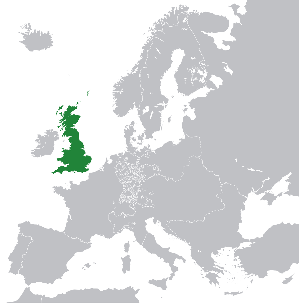
English: Great Britain in 1800 Europe. |
||
| Tanggal | |||
| Sumber | File:Europe 1789.svg | ||
| Pembuat | Rob984 | ||
| Versi lainnya |
|
.svg)
Lisensi
- Anda diizinkan:
- untuk berbagi – untuk menyalin, mendistribusikan dan memindahkan karya ini
- untuk menggubah – untuk mengadaptasi karya ini
- Berdasarkan ketentuan berikut:
- atribusi – Anda harus mencantumkan atribusi yang sesuai, memberikan pranala ke lisensi, dan memberi tahu bila ada perubahan. Anda dapat melakukannya melalui cara yang Anda inginkan, namun tidak menyatakan bahwa pemberi lisensi mendukung Anda atau penggunaan Anda.
- berbagi serupa – Apabila Anda menggubah, mengubah, atau membuat turunan dari materi ini, Anda harus menyebarluaskan kontribusi Anda di bawah lisensi yang sama seperti lisensi pada materi asli.
This file may not have the correct information on its copyright status.
The reason given by the user who added this tag is: appears to be an uncredited (unattributed) derivative work of both Europe 1789.svg which is licensed under the Creative Commons Attribution-Share Alike 3.0 Unported licence. I believe the currently supplied license (Creative Commons Attribution-Share Alike 4.0 International) is compatible with this but the required attribution has not been supplied.
Notify the uploader with:
Items tagged with this template are sorted into Category:Items with disputed copyright information.
|
Riwayat berkas
Klik pada tanggal/waktu untuk melihat berkas ini pada saat tersebut.
| Tanggal/Waktu | Miniatur | Dimensi | Pengguna | Komentar | |
|---|---|---|---|---|---|
| terkini | 8 November 2014 11.53 | | 450 × 456 (735 KB) | Rob984 | User created page with UploadWizard |
Penggunaan berkas
Tidak ada halaman yang menggunakan berkas ini.
Penggunaan berkas global
Wiki lain berikut menggunakan berkas ini:
- Penggunaan pada bg.wikipedia.org
- Penggunaan pada en.wikipedia.org
- Penggunaan pada fr.wikipedia.org
- Penggunaan pada hi.wikipedia.org
- Penggunaan pada hr.wikipedia.org
- Penggunaan pada ja.wikipedia.org
- Penggunaan pada ka.wikipedia.org
- Penggunaan pada nl.wikipedia.org
- Penggunaan pada pl.wikipedia.org
- Penggunaan pada rue.wikipedia.org
- Penggunaan pada ru.wikipedia.org
- Penggunaan pada zh-min-nan.wikipedia.org