
Berkas:Administrative map of the Ainaro district of East Timor.png

Ukuran pratayang ini: 409 × 600 piksel. Resolusi lainnya: 163 × 240 piksel | 327 × 480 piksel | 523 × 768 piksel | 1.215 × 1.782 piksel.
Ukuran asli (1.215 × 1.782 piksel, ukuran berkas: 276 KB, tipe MIME: image/png)
| Deskripsi |
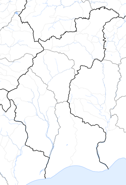
Deutsch: Verwaltungskarte des Distrikts Ainaro in Osttimor
English: Administrative map of the Ainaro district of East Timor |
| Tanggal | |
| Sumber | Self made, using informations from theTimor-Leste GIS Portal |
| Pembuat | Maximilian Dörrbecker (Chumwa) |
| Izin (Menggunakan kembali berkas ini) |
Saya, pemilik hak cipta dari karya ini, dengan ini menerbitkan berkas ini di bawah ketentuan berikut: Berkas ini dilisensikan di bawah lisensi Creative Commons Atribusi-Berbagi Serupa 2.5 Generik
Sie dürfen das Bild zu den folgenden Bedingungen nutzen:
|
Riwayat berkas
Klik pada tanggal/waktu untuk melihat berkas ini pada saat tersebut.
| Tanggal/Waktu | Miniatur | Dimensi | Pengguna | Komentar | |
|---|---|---|---|---|---|
| terkini | 19 September 2009 06.06 | | 1.215 × 1.782 (276 KB) | Chumwa | {{Information |Description= {{ de }} Verwaltungskarte des Distrikts Ainaro in Osttimor {{ en }} Administrative map of the Ainaro district of East Timor |Source=Self made, using informations from the[http://websig.civil.ist.utl.pt/timorgis Timor-Leste GIS |
Penggunaan berkas
Tidak ada halaman yang menggunakan berkas ini.